The NOTAM Nexus Blog
Stories from the sky
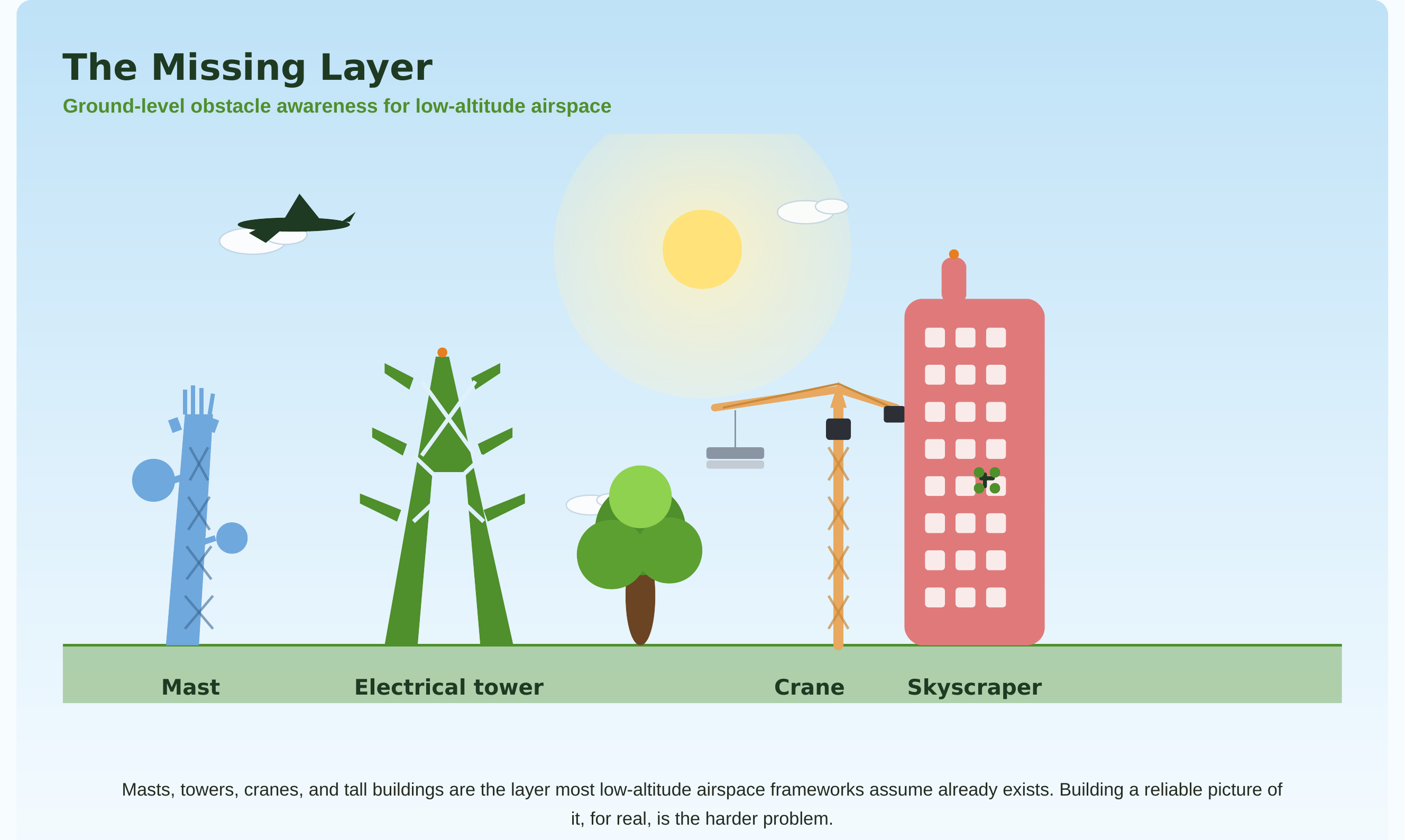
Building a complete low-altitude picture
Why no single data source is ever enough - and what it actually takes to make regulatory, ground-risk, obstacle, and airspace data agree with each other.
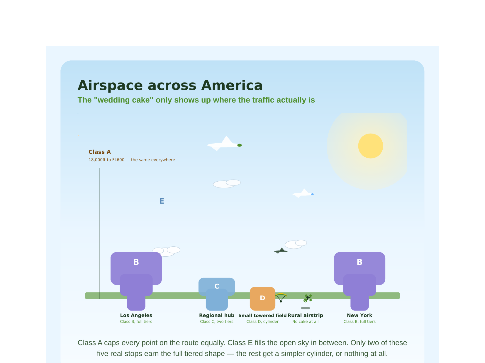
Why the sky has lanes
A short history of how the world learned to share the sky - and where Nigeria fits into it today.