If you've ever looked at an aviation chart and wondered why some airports are surrounded by big colorful rings and others aren't, you're not missing something obvious — you're looking at almost a century of aviation slowly figuring out how to share the sky.
It started with a simple question
Before anyone worried about how to organize the sky, they had to answer something more basic: whose sky is it? In 1919, in the aftermath of the First World War, a group of nations sat down in Paris and agreed on a principle that still holds today — a country owns the airspace above its own territory, and anyone flying through it needs permission first. That's it. No classes, no rings, no rules about altitude. Just: this is ours, please ask.
Then came a bigger problem
For the next twenty-five years, each country did its own thing. That was fine while flying stayed rare and slow. But by the end of the Second World War, aircraft were faster, more common, and increasingly crossing borders — and every country's homegrown rules didn't match up with anyone else's. In 1944, the Chicago Convention created the International Civil Aviation Organization (ICAO) to fix exactly this: one body, coordinating how the whole world would eventually fly together.
Here's the part that surprises people: ICAO didn't hand the world a finished system in 1944. That took another 46 years.
The system you'd actually recognize today
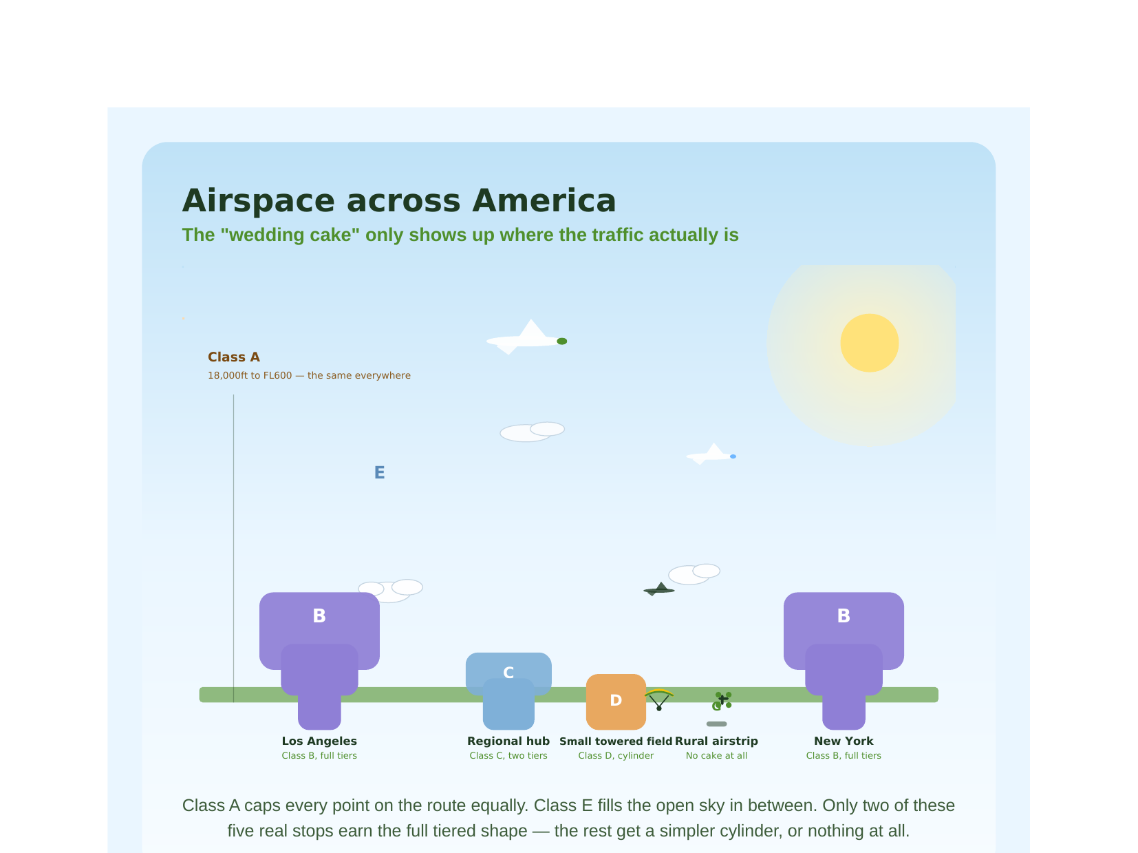
On 12 March 1990, ICAO formally adopted the seven-letter structure — Classes A through G — that still shapes how airspace works today. Each class describes a different level of "how much does someone need to be talking to air traffic control here." Class A, way up high, is the strictest — everyone's on instruments, everyone's separated, no exceptions. Class G, way down low, is the loosest — no one's required to talk to anyone at all.
Here's the detail that trips a lot of people up, including us for a while: ICAO decided what each class means, but left it up to each individual country to decide where to actually use them. So the United States doesn't use Class F at all. Canada uses all seven, and even splits its own Class A into three regional variants for its enormous Arctic geography. Same rulebook, genuinely different sky.
The "wedding cake" isn't everywhere
If you've ever taken any kind of aviation class, you've probably seen the classic tiered diagram of Class B airspace around a major airport — narrow near the ground, widening out in steps as you go up, like an upside-down wedding cake. It's a great way to learn the concept. It's a slightly misleading way to think about real airports, though — because that full, tiered shape only shows up around the busiest handful of airports in the entire country. Most airports get something far simpler: a plain cylinder, or in a lot of cases, nothing distinct at all, just open sky.
A new kind of pressure, arriving now
This whole 1990 system was designed for a world where a human pilot talks to a human controller over the radio. It was never built with thousands of small, low-flying drones in mind — and that mismatch is exactly what's reshaping airspace management again, right now, in real time. Europe's answer is called U-space; the US calls its version UTM. Both create a new digital layer, managed not by voice but by software, sitting right in that low-altitude space drones actually occupy.
Where this leaves Nigeria
Nigeria, like every ICAO member, formally operates under this same seven-class system. But the specific, granular detail — exactly which class applies where, at what altitude — isn't something any licensable international data source currently covers for Nigerian airspace. We checked this directly with a few different providers this year, including a very clear, direct answer from one of them confirming their data simply can't be used for real-world African airspace at all. That gap is real, and it's part of why we think there's genuine, useful work ahead for anyone willing to build patiently in this space.
That's the story behind the shape of the sky — and it's also, honestly, a decent chunk of why NOTAM Nexus exists at all.